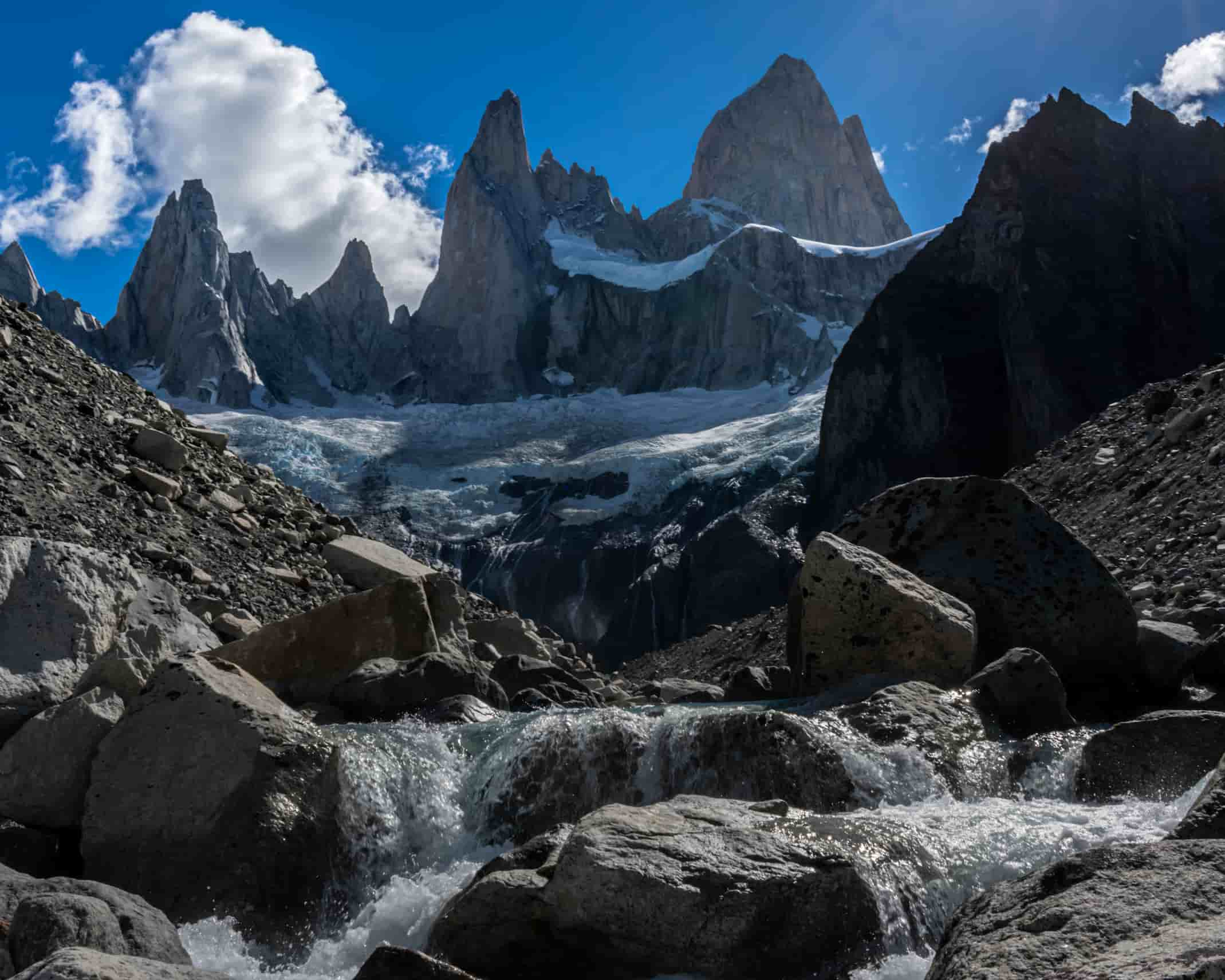
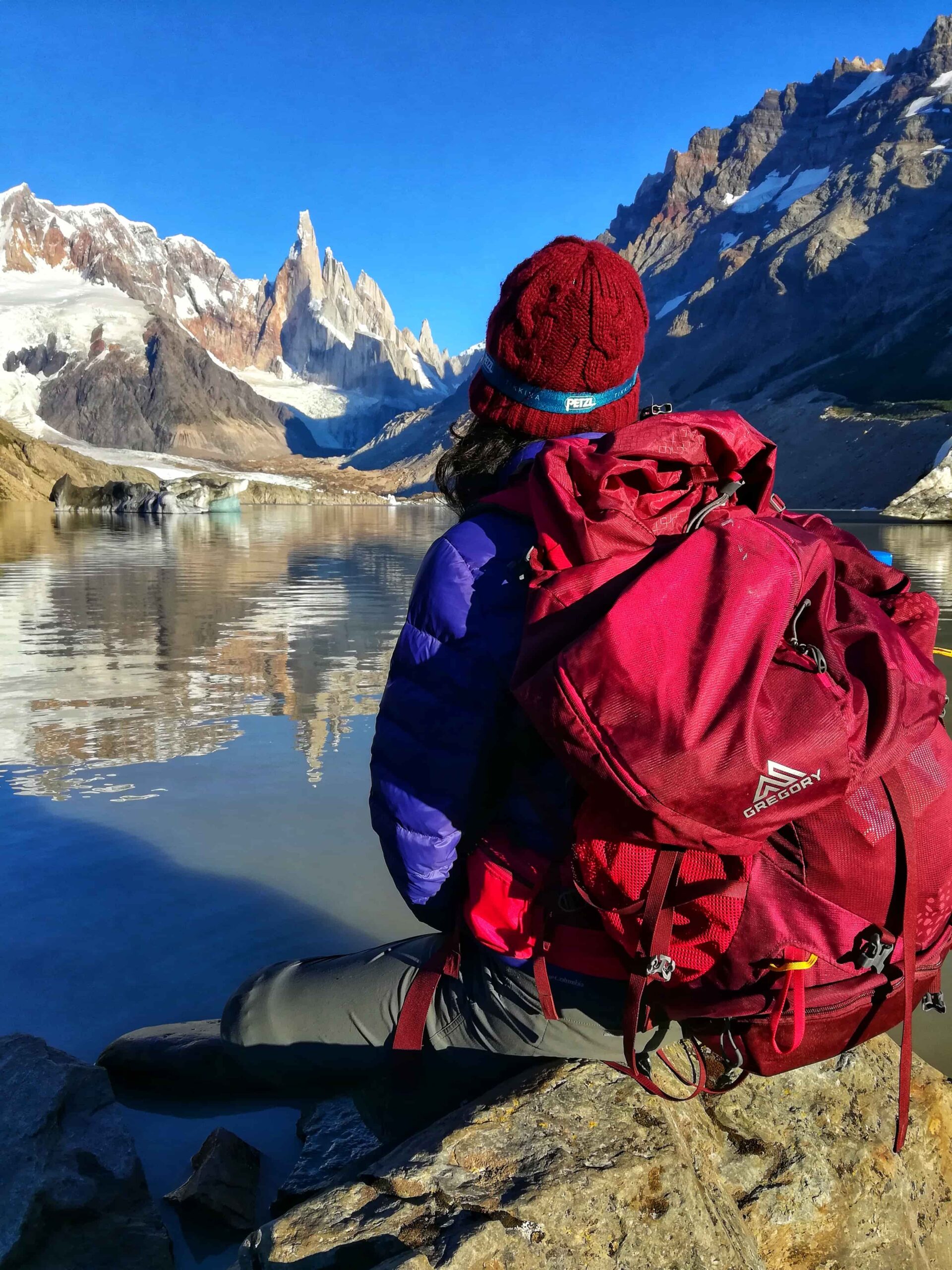
LAGUNA SUCIA
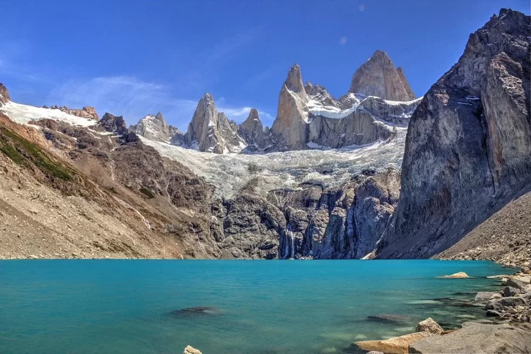
A demanding hike that unfolds almost entirely over large boulders — slow going and physically taxing. But the reward upon arrival is spectacular: a jaw-dropping view of Fitz Roy that seems to loom directly overhead.
⚠️ Important: This route travels through an area of Los Glaciares National Park designated as a Remote Area. Some mountain experience is essential. Trails are not marked in the same way as the main trail network (Laguna de los Tres, Laguna Torre, etc.), and there are no nearby medical services or serviced campsites.
Use the information below as a reference only. Before setting out, visit the Ceferino Fonzo Visitor Center for up-to-date information on the route and recommended gear.
Mountain Use Registration – Remote Areas, Los Glaciares National Park:
- Independent visitors: click here.
- Independent guides or service providers: click here.
Important: The track starts and ends at Campamento Poincenot (on the Laguna de los Tres trail).
Leaving Campamento Poincenot and crossing the Río Blanco footbridge (continuing along the Laguna de los Tres trail), climb a short log staircase. At the top of the stairs, look for the start of the Laguna Sucia trail, which is blocked by logs and marked with a closed trail sign.
Following the path, descend to the riverbank and navigate using the cairns (stone markers) that mark the way. If you lose sight of the cairns, continue upstream, staying as close to the vegetation line as possible.
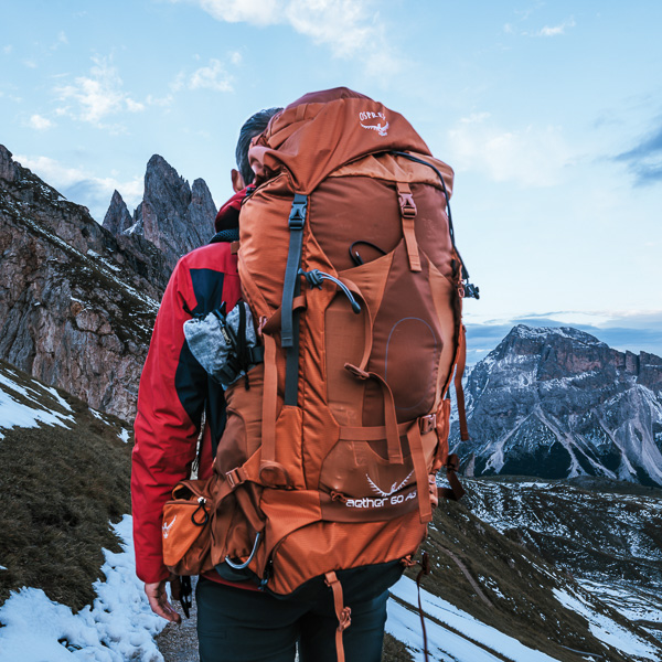
From here, progress is made almost entirely by hopping from boulder to boulder — proper footwear is essential. Continue until you reach a large boulder blocking the route. At this point, you have two options:
-
Climb over the boulder (recommended on the way in only — descent can be dangerous)
-
Backtrack a few meters to a side junction (marked on the track) and pass through a narrow patch of woodland to bypass the boulder
In either case, continue along the right bank until reaching a small stream descending from Laguna de los Tres. Under normal conditions, the stream can be crossed by stepping stones — however, it is recommended to carry sandals or water shoes for the crossing, as attempting it barefoot increases the risk of a fall.
Following the stream uphill, within a few minutes you’ll reach the edge of Laguna Sucia — a truly awe-inspiring setting. Return via the same route.
Safety notes:
- Exercise great caution throughout due to the size and instability of the boulders. Step firmly and avoid this route on rainy days.
- The large boulder has only the two crossing options described above. Do not attempt to ford the river or approach the bank closely — it is extremely dangerous.
The woodland bypass path is the recommended option.
Note: There is an alternative path that begins just below Campamento Poincenot and follows the left bank of the river. This path rejoins the main route before the large boulder.
Total distance: 6 km (Back and Forth from Poincenot campsite).
Estimated time: About 3 hrs. Ground very unstable, it may take a little longer.
Half-day hike (Starting at Poincenot Campsite).
Before heading out, always check the weather forecast. Depending on the time of year and the type of route, we also recommend verifying sunrise and sunset times.
We recommend the following apps (desktop versions also available):
- WINDY.COM: Ideal for checking wind speed and gust forecasts.
- YR.NO: Best for temperature and precipitation data.
For more information on weather and alternative apps: click here.
MAP
Max elevation: 874 m
Min elevation: 717 m
📱 Download the track: The GPX and KML track files are available through our Premium Web Portal. For more information: click here.
⚠ Important: Use this track as a reference only — it may contain errors. Always follow official park signage, and when in doubt, consult Los Glaciares National Park staff.
🔉 Guided service: We do not offer guided hikes directly, but we are in contact with independent certified guides. If you need this service, please send us a message!
PHOTOS AND VIDEOS