LAGUNA DE LOS TRES
This is quite possibly the most sought-after hike for anyone who has ever heard of El Chaltén.
One of Argentinian Patagonia’s most breathtaking hidden gems.
Is it worth the effort? Absolutely!
Note: This route starts and ends in the village. However, it is also possible to take a transfer and begin from the Río Eléctrico bridge, adding the Piedras Blancas Glacier to your itinerary.
The trail begins at the northern end of Av. San Martín and is clearly marked with official Los Glaciares National Park signage.
The route gradually ascends for approximately 3 km until reaching a trail junction, where you can choose:
A) Visit Laguna Capri and overnight at its campsite (left fork)
B) Head to the Fitz Roy Viewpoint (right fork)
Both options reconnect further along the trail.
At approximately km 7, you’ll reach another junction — the Madre e Hija crossroads — which connects with the trail to Laguna Torre (see: Laguna de los Tres – Laguna Torre Traverse).
Follow the signage, turn right, cross a footbridge, and continue to Poincenot Campsite.
This camp is the ideal spot to rest, have a snack, and refill your water. Toilet facilities are also available.
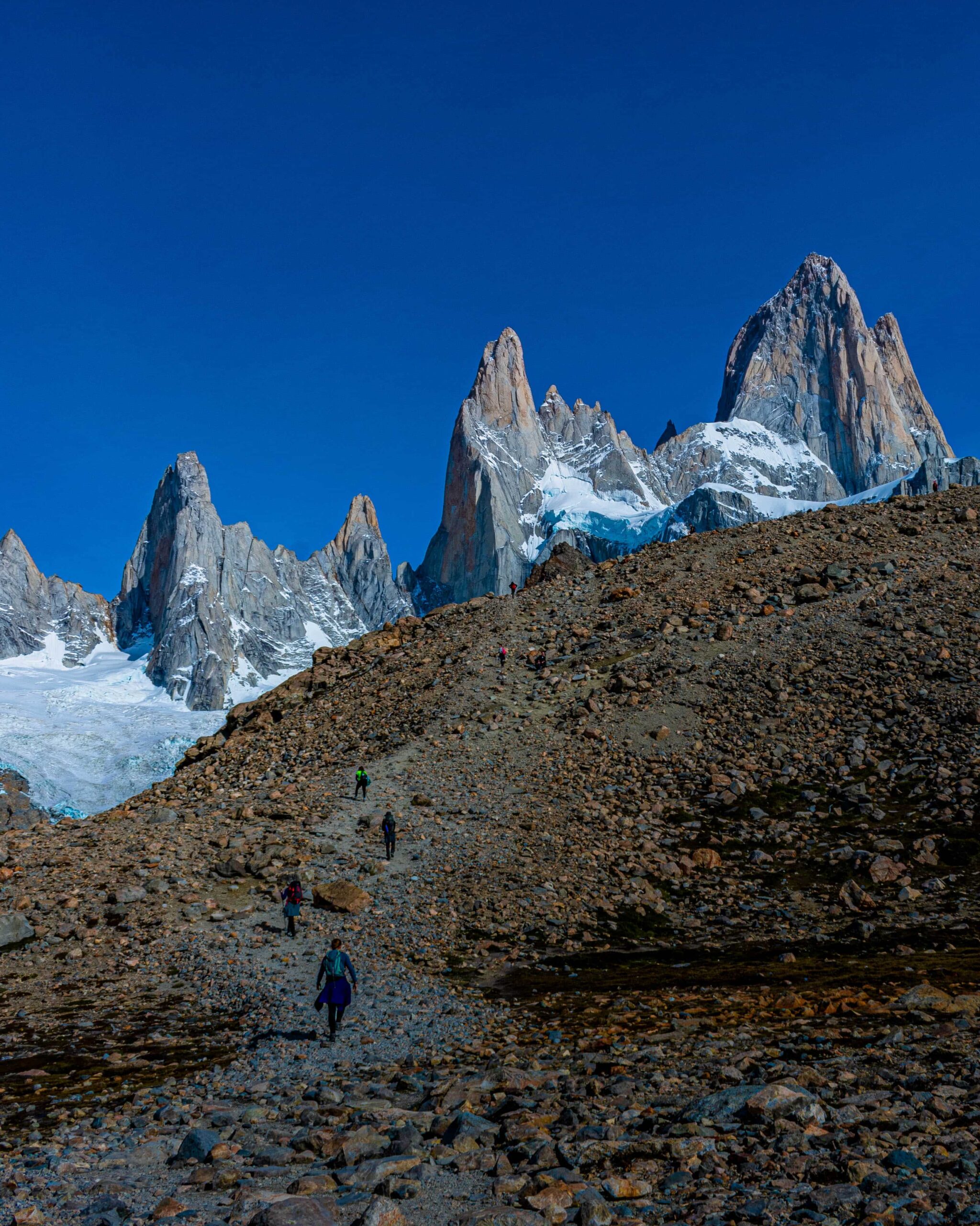
Once you’ve rested and prepared yourself — mentally and physically (the best part is still ahead!) — cross the bridge and begin the famous “summit approach”. Over just over 1 km, the trail climbs steeply over rocks and loose scree on a demanding gradient. (Checking the weather beforehand is strongly recommended due to high wind exposure.)
Note: Yes, this is the hardest section of the entire hike. Take it steady, don’t rush, and above all — take a moment to look back at the landscape you’ve already conquered. Great things take effort!
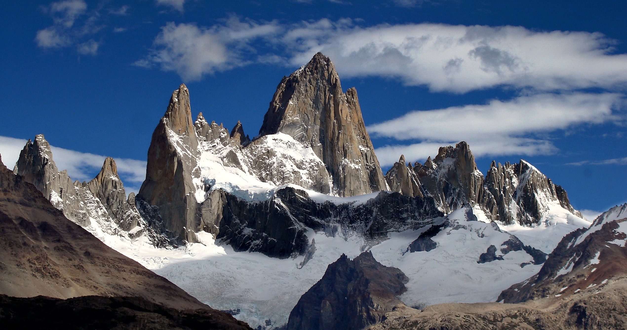
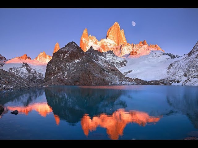
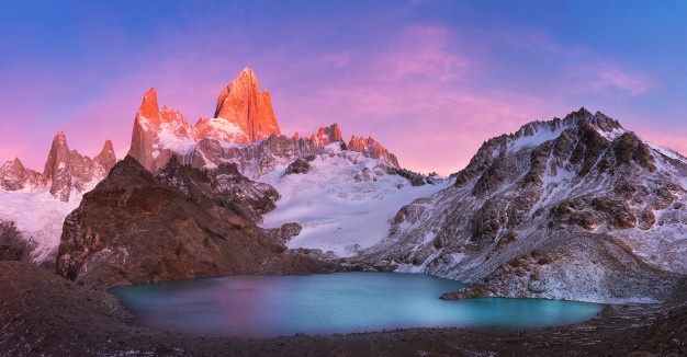
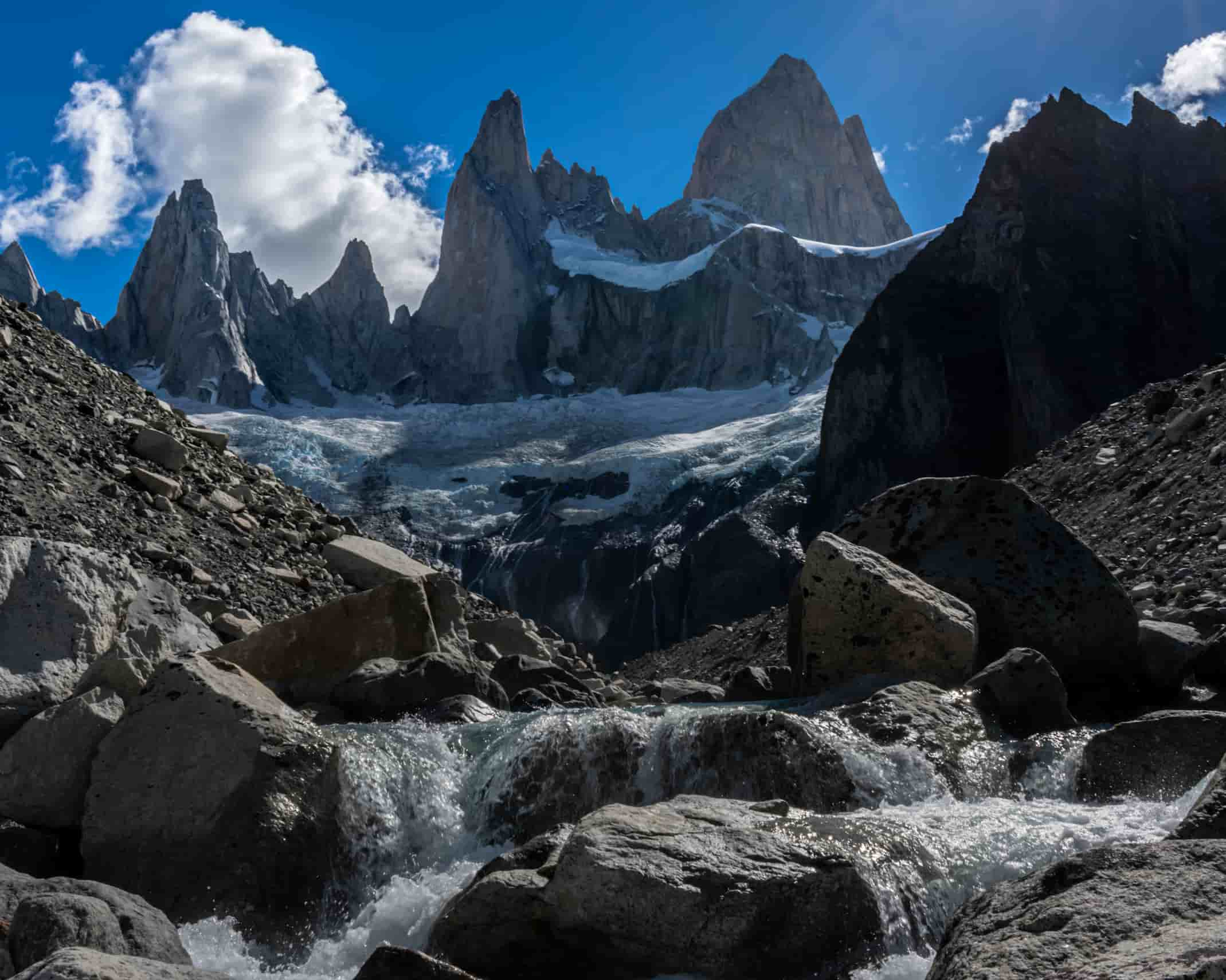
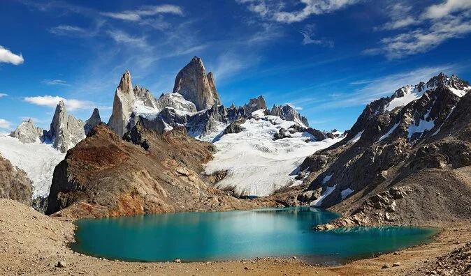
After this final push, you’ll arrive at the magical destination everyone comes to see: Laguna de los Tres — a vivid turquoise glacial lake with the legendary Cerro Chaltén (Mount Fitz Roy) rising dramatically in the background.
Now find a good spot to sit, catch your breath, and take it all in — you’ve earned this view.
Total distance: 21 km (Back and Forth).
Estimated time: 8-9 hours.
This is a full-day hike. An early morning start is strongly recommended to make the most of daylight hours.
Before heading out, always check the weather forecast. Depending on the time of year and the type of route, we also recommend verifying sunrise and sunset times.
We recommend the following apps (desktop versions also available):
- WINDY.COM: Ideal for checking wind speed and gust forecasts.
- YR.NO: Best for temperature and precipitation data.
For more information on weather and alternative apps: click here.
MAP
Max elevation: 1177 m
Min elevation: 404 m
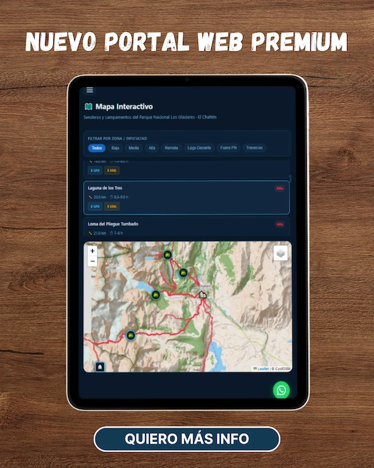
📱 Download the track: The GPX and KML track files are available through our Premium Web Portal. For more information: click here.
⚠ Important: Use this track as a reference only — it may contain errors. Always follow official park signage, and when in doubt, consult Los Glaciares National Park staff.
🔉 Guided service: We do not offer guided hikes directly, but we are in contact with independent certified guides. If you need this service, please send us a message!


PHOTOS AND VIDEOS