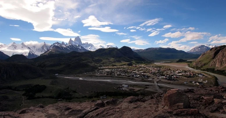
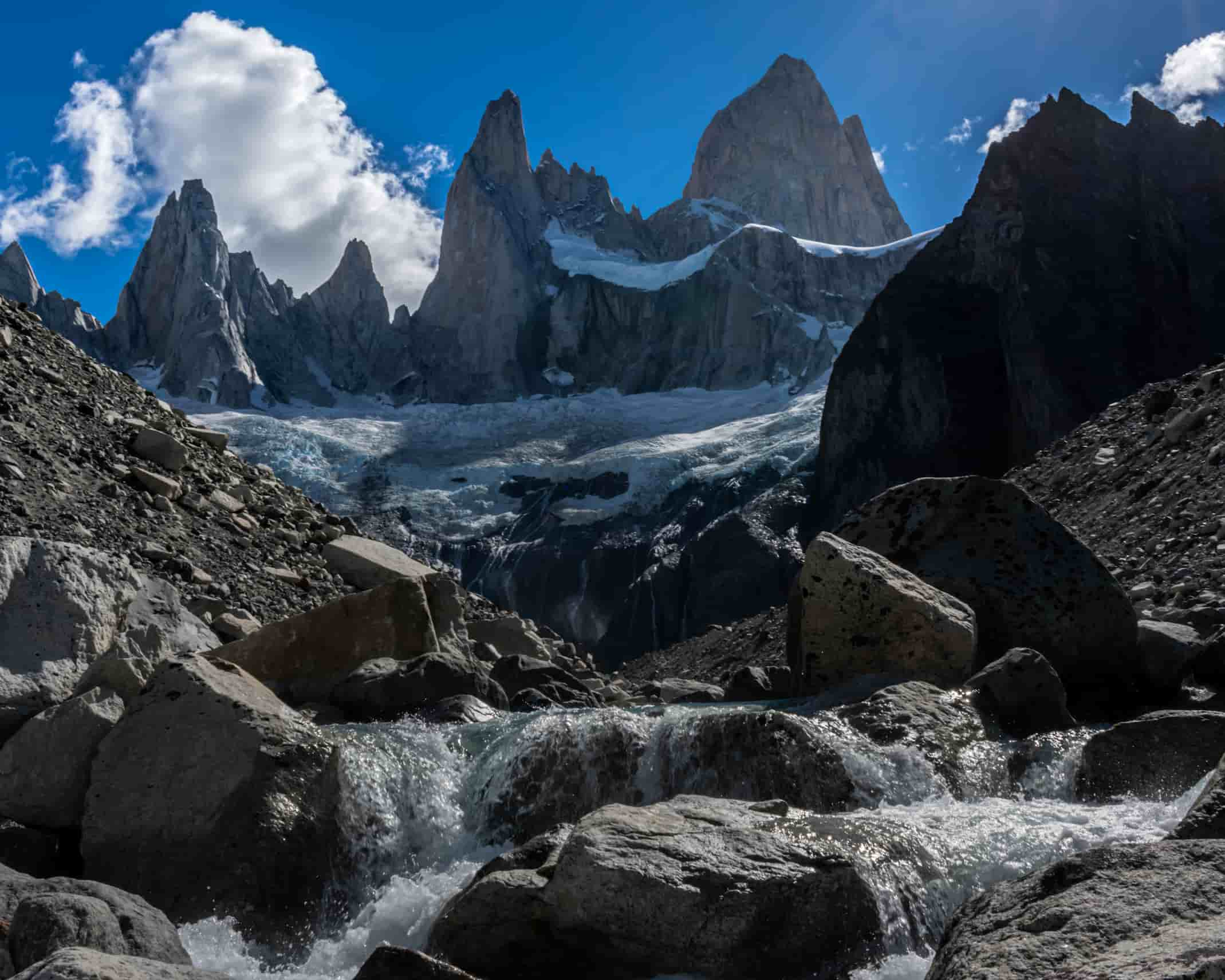
LOMA DE LAS PIZARRAS
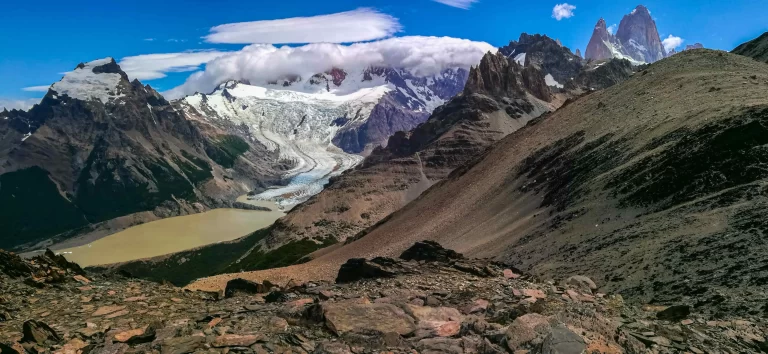
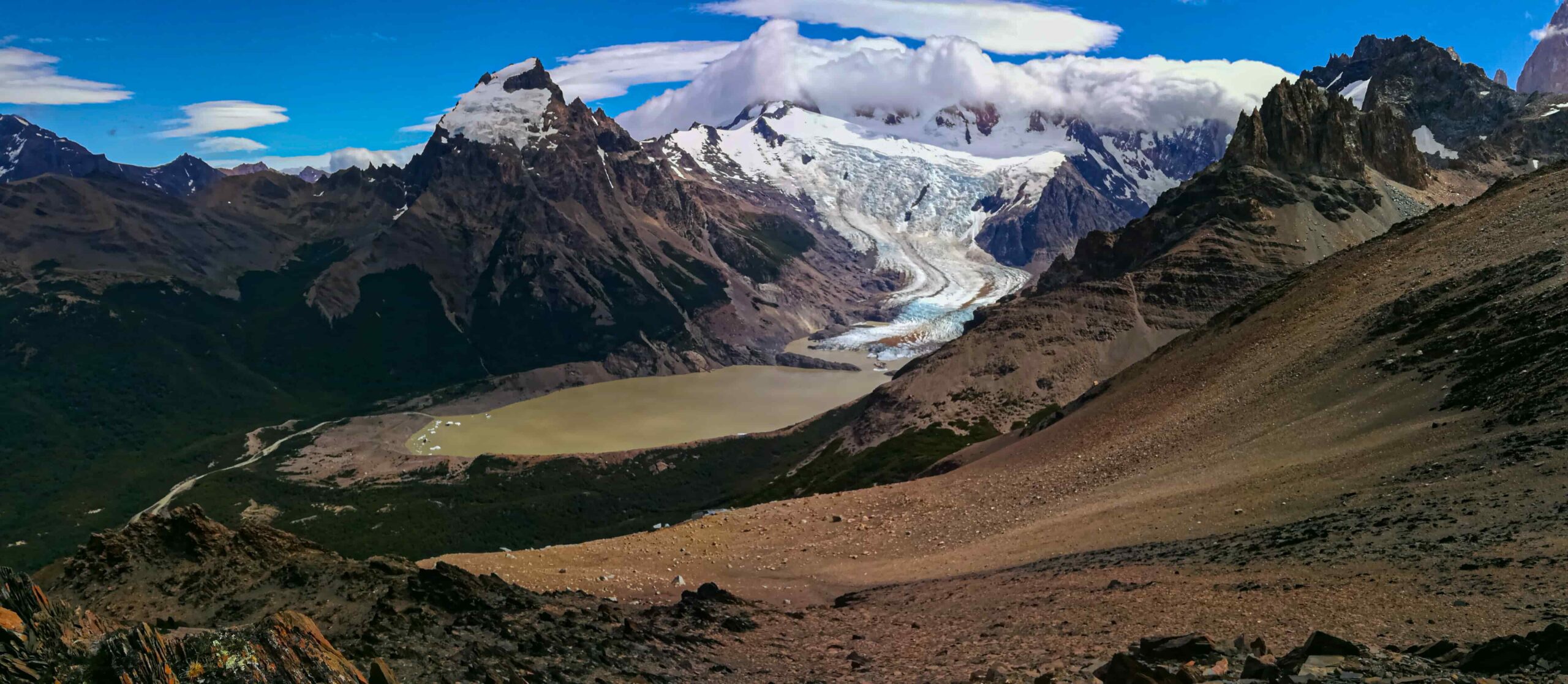
A demanding hike with significant elevation gain, but offering one of the finest views in all of Los Glaciares National Park.
⚠️ Important: This route travels through an area of Los Glaciares National Park designated as a Remote Area. Some mountain experience is essential. Trails are not marked in the same way as the main trail network (Laguna de los Tres, Laguna Torre, etc.), and there are no nearby medical services or serviced campsites.
Use the information below as a reference only. Before setting out, visit the Ceferino Fonzo Visitor Center for up-to-date information on the route and recommended gear.
Mountain Use Registration – Remote Areas, Los Glaciares National Park:
- Independent visitors: click here.
- Independent guides or service providers: click here.
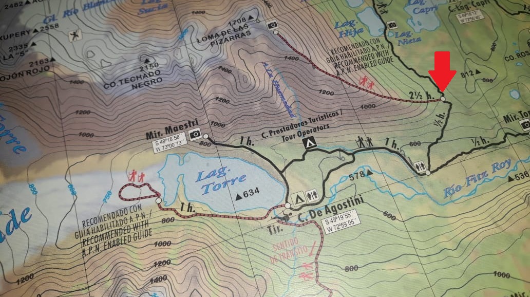
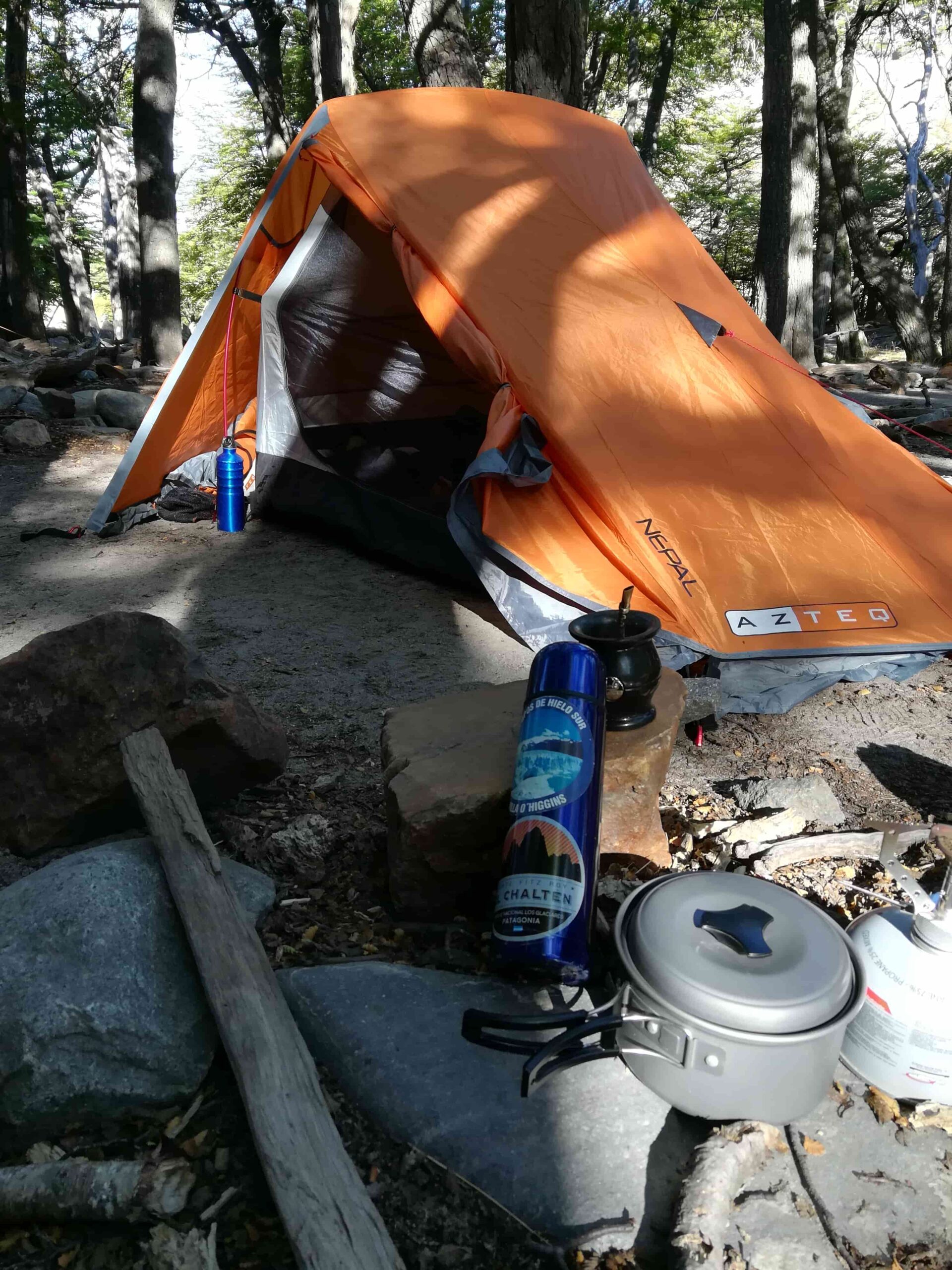
Important: The route begins within the Madre e Hija trail (see track and topographic map). An overnight stay within the park is strongly recommended — ideally at Campamento D’Agostini.
The following track starts and ends in the village. Follow the trail toward Laguna Torre, then connect with the Madre e Hija trail. Approximately 30–40 minutes in (at roughly 750 m above sea level), look for a clearing with a faint path — there are no signs and it’s easy to miss — that marks the start of the ascent toward Loma de las Pizarras (Coordinates: 49°19’22.74″ S, 72°56’40.98″ W).
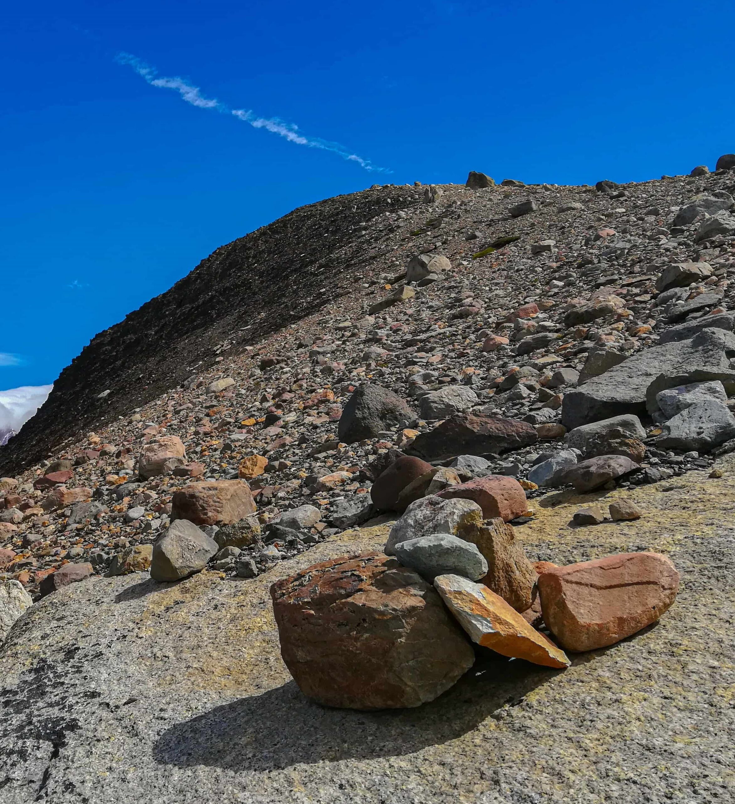
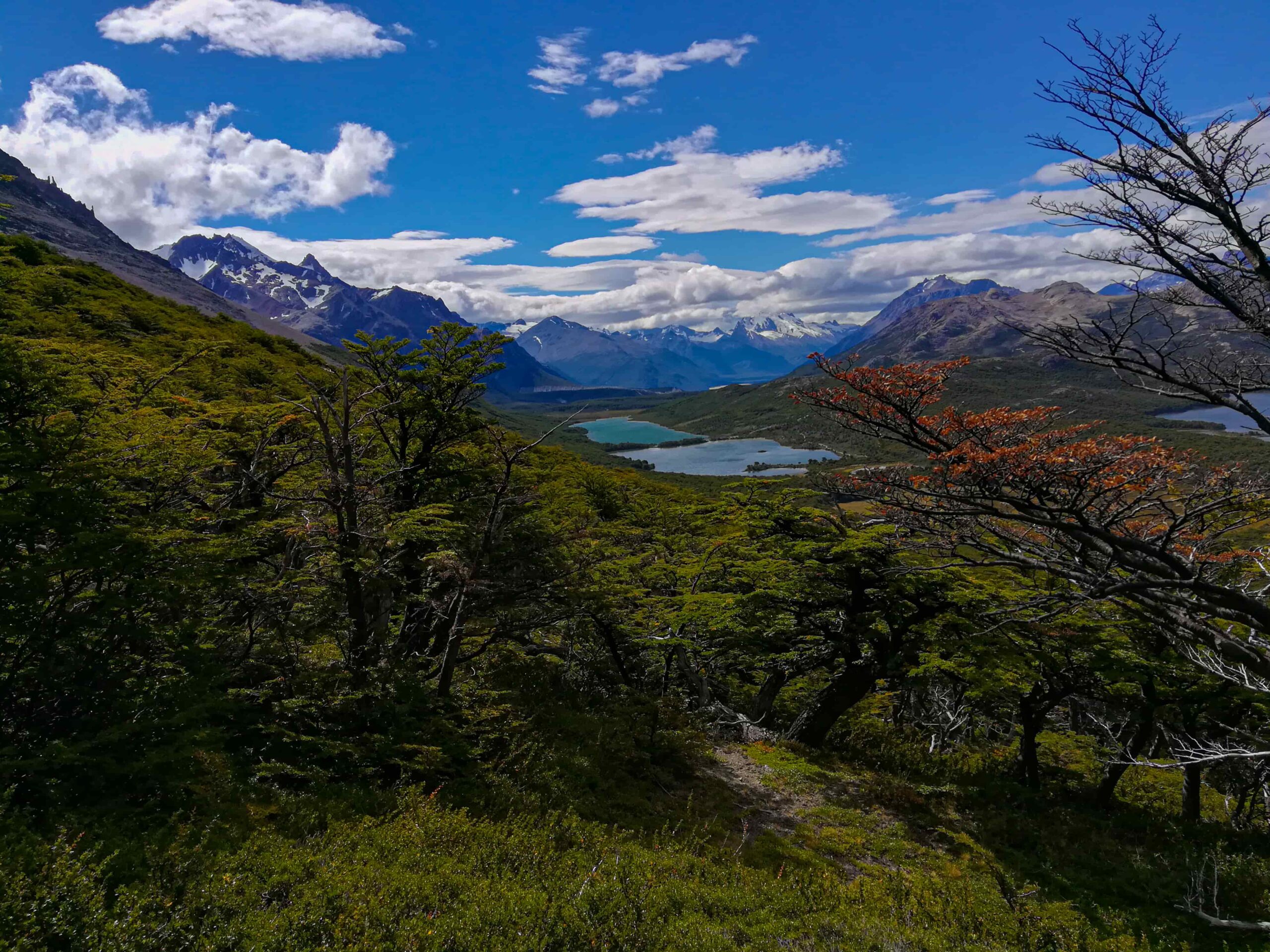
Some hikers choose to begin the ascent directly via a ridge located slightly before this point. Either way, the objective is the same: follow the ridge upward — initially through vegetation, then over open rock.
The route presents no major technical challenges, but caution is essential on high-wind days. Since there is no defined trail, pay close attention to the cairns that mark the way.
While it is possible to continue beyond the marked endpoint, the terrain becomes increasingly unstable — proceed with discretion.
Total distance: 22 km.
Estimated Time: 10 – 11 hours.
De Agostini Campsite: 5 hours in total (Back and Forth).
This is a full-day hike. An early morning start is strongly recommended to make the most of daylight hours.
Before heading out, always check the weather forecast. Depending on the time of year and the type of route, we also recommend verifying sunrise and sunset times.
We recommend the following apps (desktop versions also available):
- WINDY.COM: Ideal for checking wind speed and gust forecasts.
- YR.NO: Best for temperature and precipitation data.
For more information on weather and alternative apps: click here.
MAP
Max elevation: 1593 m
Min elevation: 417 m
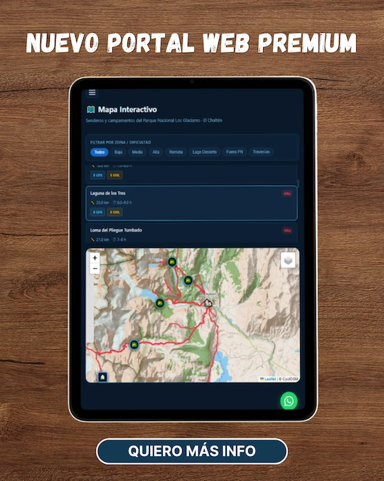
📱 Download the track: The GPX and KML track files are available through our Premium Web Portal. For more information: click here.
⚠ Important: Use this track as a reference only — it may contain errors. Always follow official park signage, and when in doubt, consult Los Glaciares National Park staff.
🔉 Guided service: We do not offer guided hikes directly, but we are in contact with independent certified guides. If you need this service, please send us a message!
PHOTOS AND VIDEOS