SOUTHERN TO NORTHERN TIP
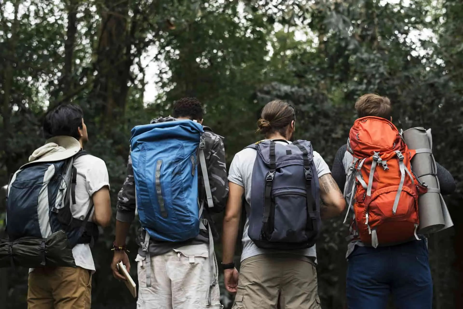
A full-day hike through the Lago del Desierto area. A great option for those who want to reach the northern tip of the lake without taking the boat crossing.
Note: This is an alternative for those who prefer to reach the northern tip of Lago del Desierto on foot rather than by boat (for boat crossing enquiries, click here).
⚠️ Important: This route is located within the Lago del Desierto Provincial Reserve, 37 km from El Chaltén. It can be reached by private vehicle or by arranging a transfer.
This trail is also well-suited for those undertaking the Huella de Glaciares traverse or those looking to visit the Border Marker (Hito Fronterizo).
The trail begins just after crossing the bridge. The total round-trip distance is approximately 24 km over nearly flat terrain, with an estimated 4 hours each way (add 1 hour if carrying a full backpacking pack).
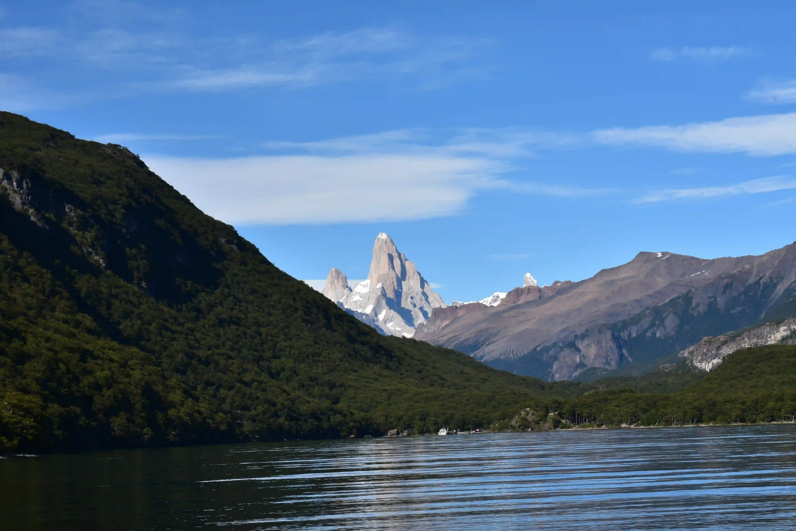
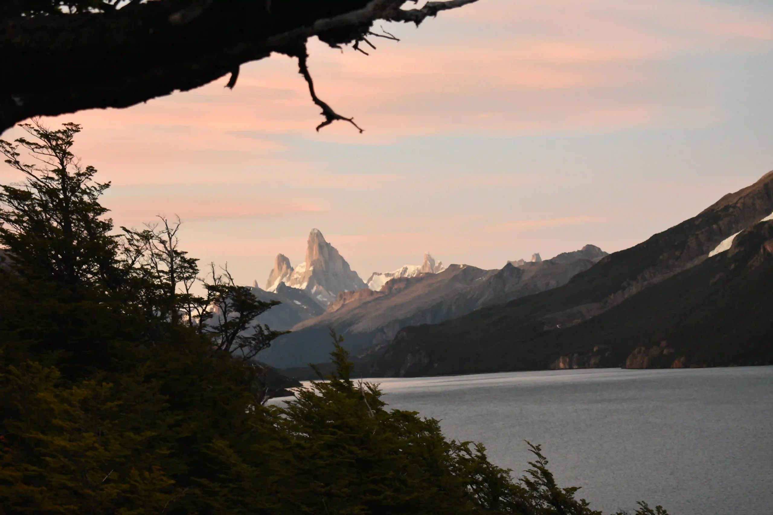
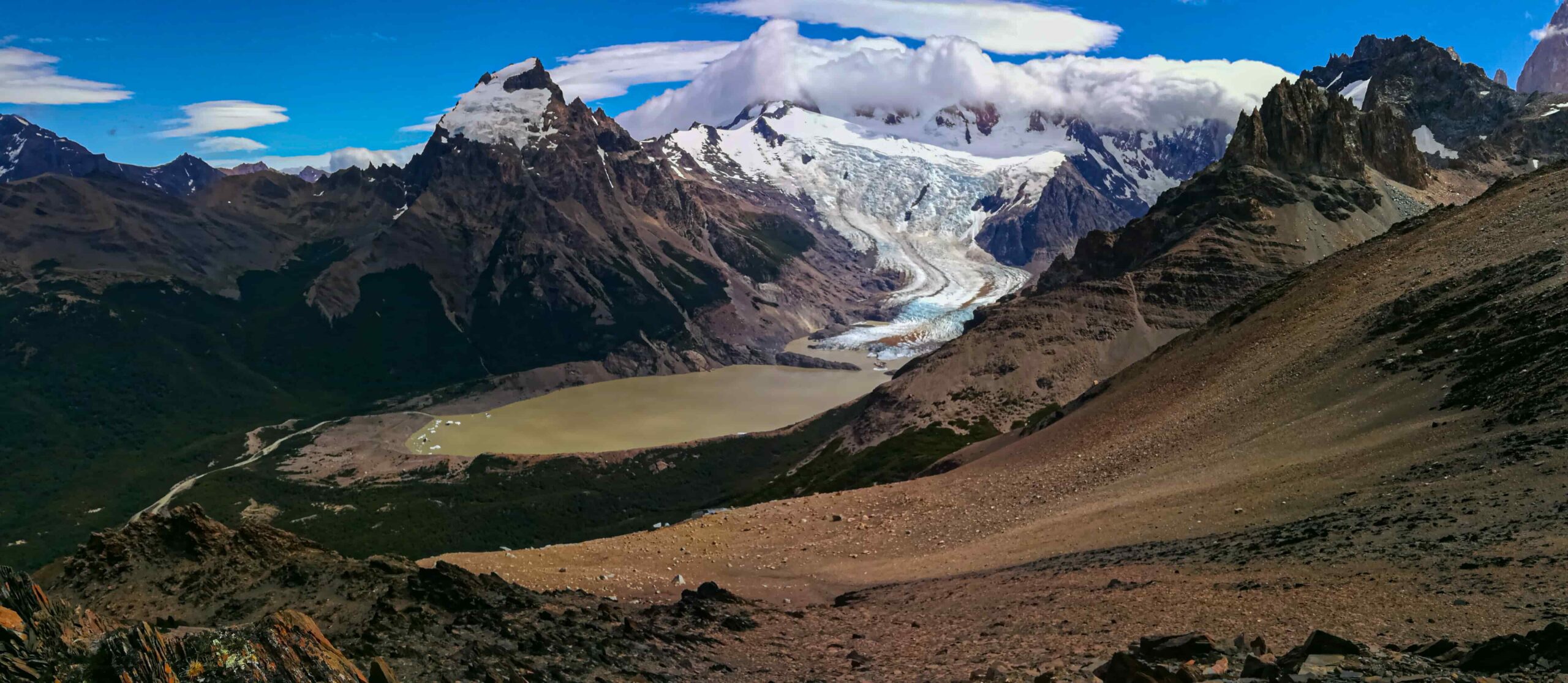
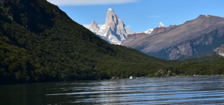
At roughly the halfway point (km 6), a viewpoint offers a well-earned rest stop and sweeping views of the immense Vespignani Glacier — take your time here.
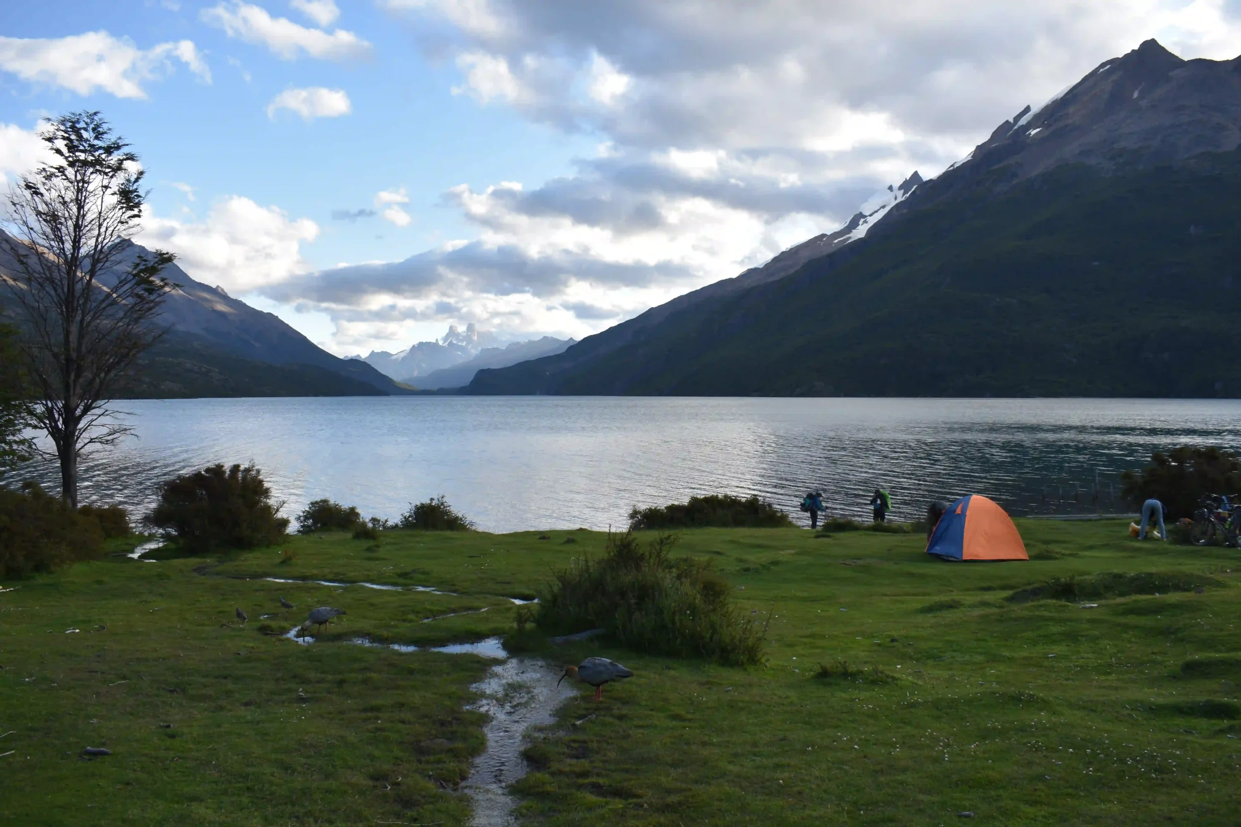
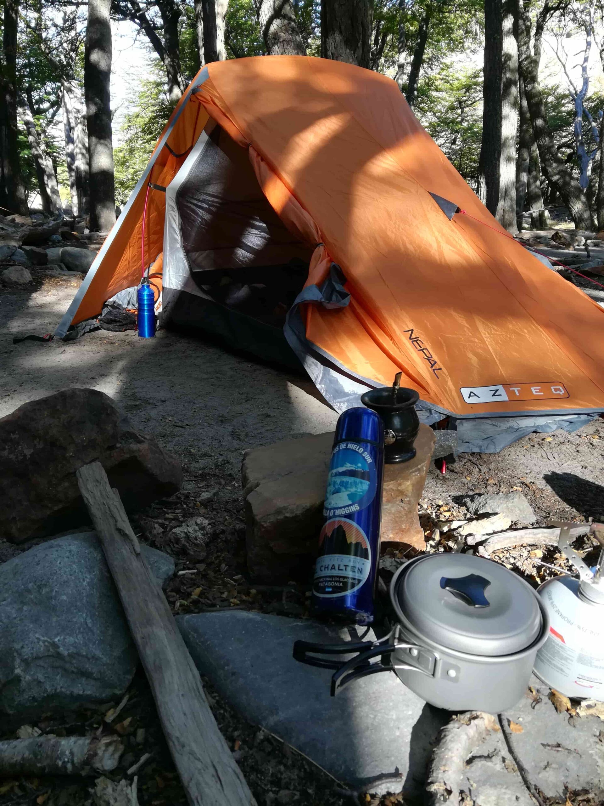
The trail ends at the Argentine Border Police (Gendarmería Argentina) post. For those planning to continue, this is an ideal overnight spot before tackling the next section toward Candelario Mansilla or Refugio Río Diablo. To return, follow the same trail back to the southern tip.
Total distance: 24 km.
Estimated time: 8 – 9 hours.
This is a full-day hike. An early morning start is strongly recommended to make the most of available daylight
Before heading out, always check the weather forecast. Depending on the time of year and the type of route, we also recommend verifying sunrise and sunset times.
We recommend the following apps (desktop versions also available):
- WINDY.COM: Ideal for checking wind speed and gust forecasts.
- YR.NO: Best for temperature and precipitation data.
For more information on weather and alternative apps: click here.
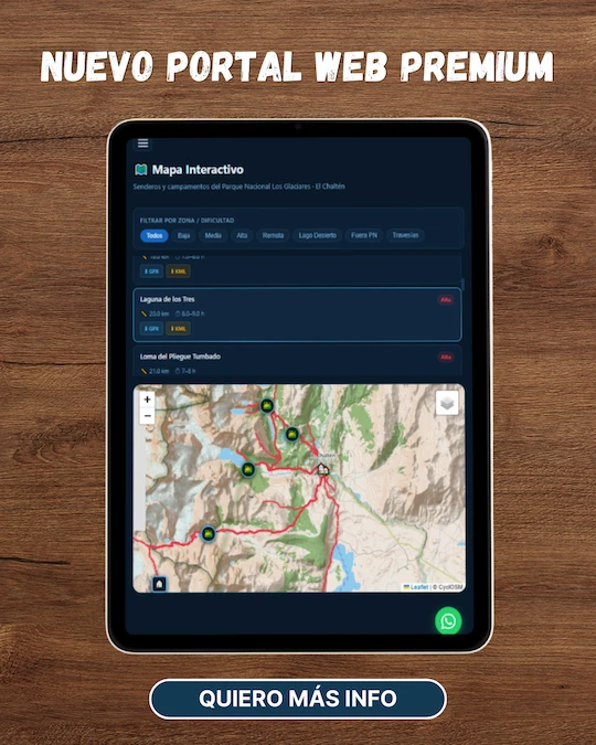
MAP
Max elevation: 675 m
Min elevation: 497 m
📱 Download the track: The GPX and KML track files are available through our Premium Web Portal. For more information: click here.
⚠ Important: Use this track as a reference only — it may contain errors. Always follow official park signage, and when in doubt, consult Los Glaciares National Park staff.
🔉 Guided service: We do not offer guided hikes directly, but we are in contact with independent certified guides. If you need this service, please send us a message!
PHOTOS AND VIDEOS