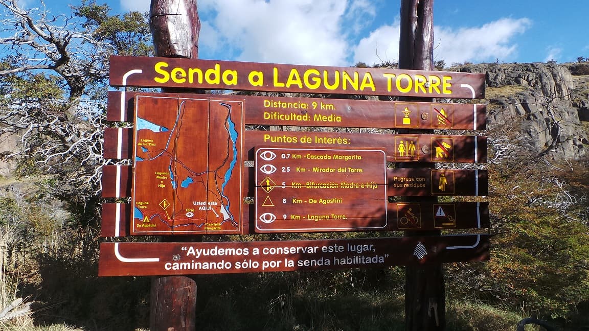
LAGUNA TORRE TREK
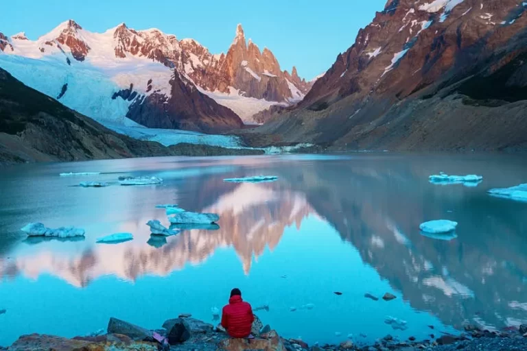
Just a short distance from Campamento De Agostini — named in honor of Father Alberto María De Agostini — lies the glacial lake at the foot of Cerro Torre, one of the most popular hikes in the area.
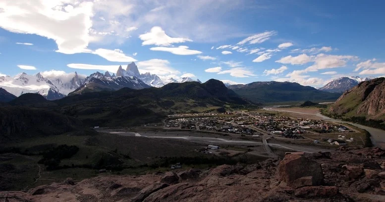
There are currently 2 starting points, both located within the village, and they merge within just a few minutes of walking:
-
Starting Point 1: In front of Las Loicas Aparts — map here
-
Starting Point 2: In front of La Torcida campsite — map here
The trail is perfectly marked throughout, and being one of the most frequented routes in El Chaltén, you’ll likely share the path with plenty of fellow hikers.
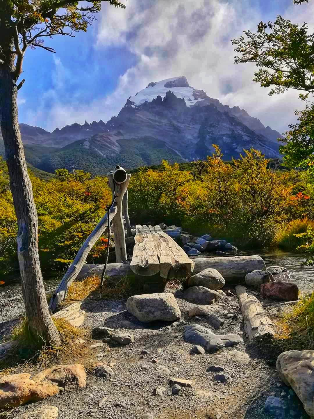
Just over 2 km in, you’ll reach the first panoramic overlook: the Torre Viewpoint. From here, you’ll already get a sense of the sheer scale of Cerro Torre, Cerro Grande, and the entire mountain range that frames them.
The trail continues through a peaceful valley, and at approximately km 5.5, you’ll reach the Madre e Hija trail junction — the connecting trail between Campamento Poincenot and Campamento De Agostini (see: Laguna de los Tres – Laguna Torre Traverse). Toilet facilities are also available at this point.
Just before reaching the lakeshore, you’ll find the turnoff to Campamento De Agostini — ideal for an overnight stay to catch the sunrise.
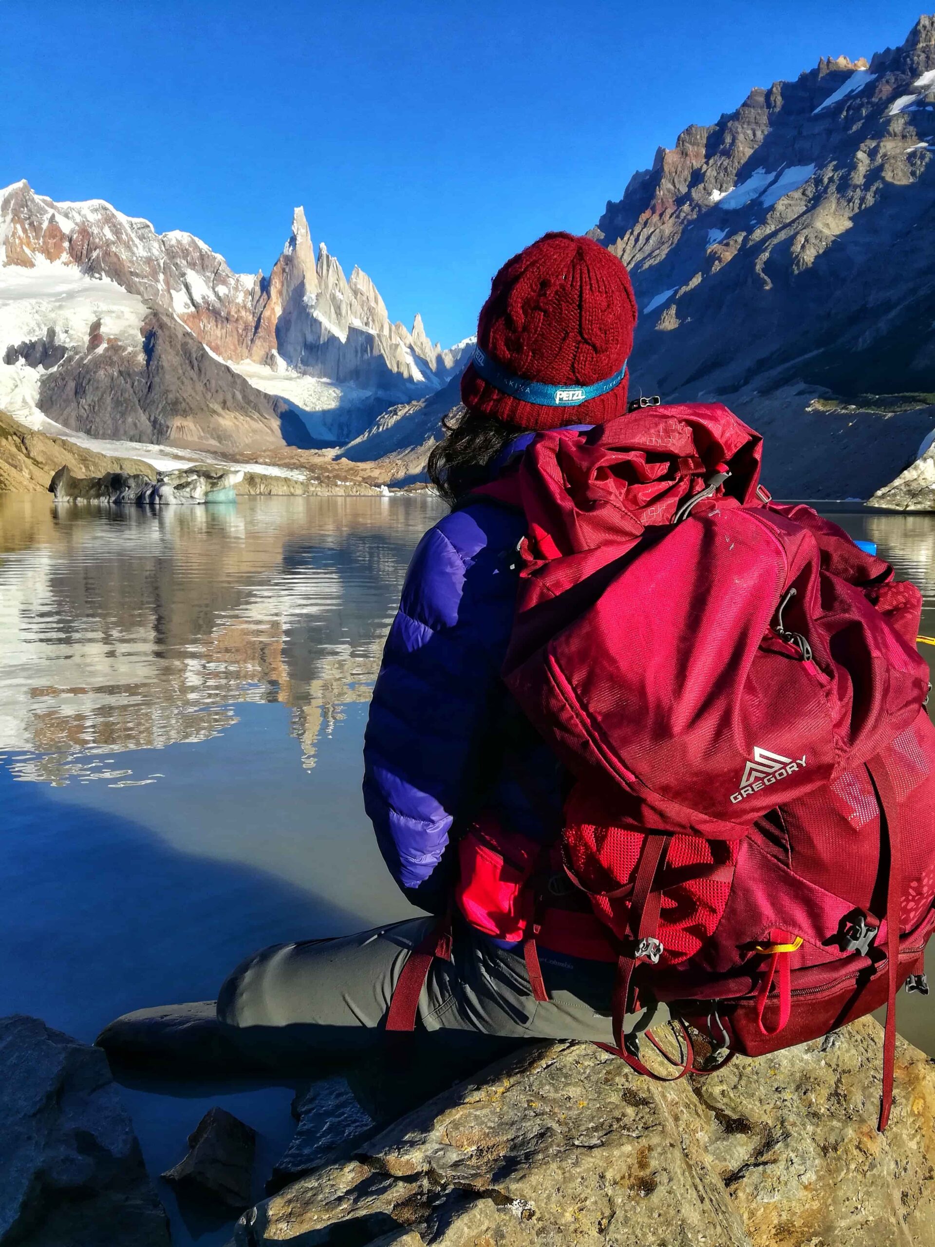
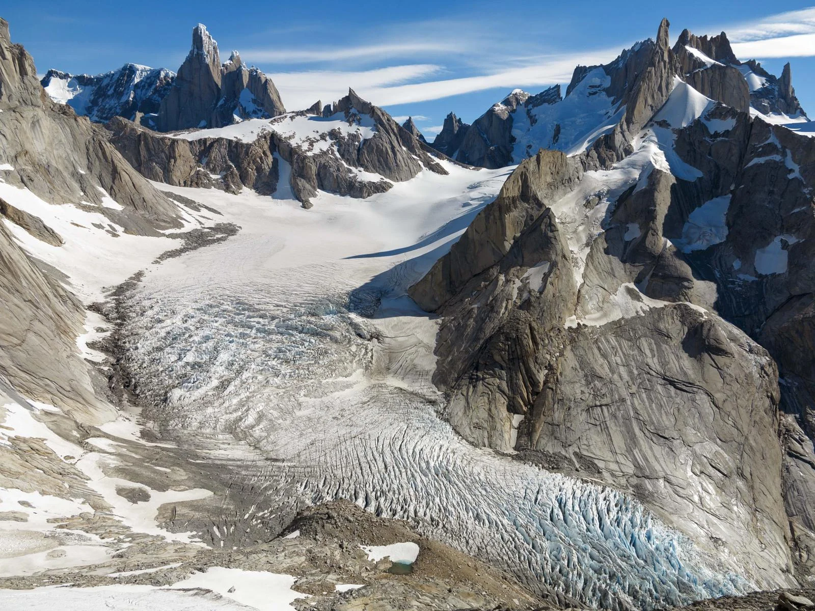
Once you arrive at the water’s edge, it’s time to rest and take in the scenery. Don’t forget something to eat and a camera or phone to capture the moment!
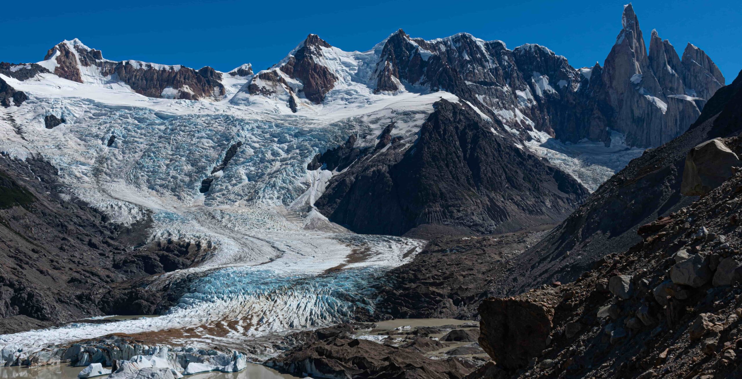
If weather conditions allow, you can continue along the shore toward Mirador Maestri for an even closer and more dramatic view of the tower.
Total distance: 18 km (Back and Forth).
Estimated time: 7-8 hours.
This is a full-day hike. An early morning start is strongly recommended to make the most of daylight hours.
Before heading out, always check the weather forecast. Depending on the time of year and the type of route, we also recommend verifying sunrise and sunset times.
We recommend the following apps (desktop versions also available):
- WINDY.COM: Ideal for checking wind speed and gust forecasts.
- YR.NO: Best for temperature and precipitation data.
For more information on weather and alternative apps: click here.
MAP
Max elevation: 639 m
Min elevation: 424 m
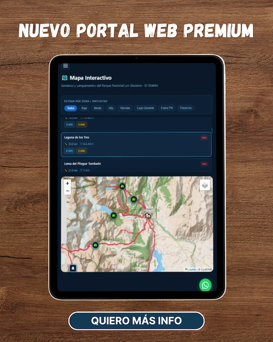
📱 Download the track: The GPX and KML track files are available through our Premium Web Portal. For more information: click here.
⚠ Important: Use this track as a reference only — it may contain errors. Always follow official park signage, and when in doubt, consult Los Glaciares National Park staff.
🔉 Guided service:We do not offer guided hikes directly, but we are in contact with independent certified guides. If you need this service, please send us a message!
PHOTOS AND VIDEOS